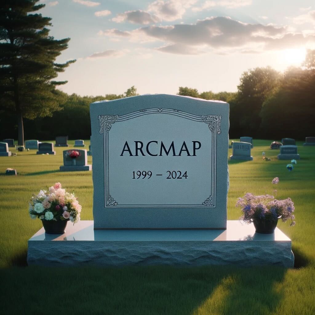
In the 18+ months since I stepped back into the world of geospatial consulting and services, one of the most striking things I have noticed is the seemingly increased tribalism in the geospatial space. Maybe I shouldn’t be surprised, given the increased tribalism of society in general, but that’s a different post that won’t get … Continue reading Walls and Bridges
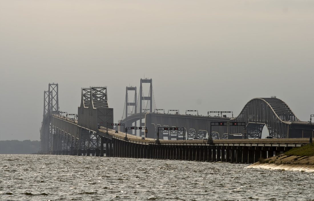
Walls and Bridges