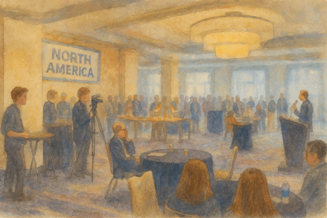
You are already using open-source. I've said that time and again to various audiences. The most committed Microsoft and Esri users will immediately balk, but it's easy to knock the objections down. Azure? Linux abounds. Esri? GDAL under the hood. And what does the "Py" in ArcPy stand for? Oh yeah, Python, the open-source programming … Continue reading Unless…
Tag: geospatial
HIFLD Open Is Dead*, Long Live HIFLD
Before it was HIFLD, it was briefly FGDWG. Before that, it was a nameless thing in its infancy. In those early days, it bounced around between conference rooms in Norfolk, Dahlgren, and Chantilly. I was fortunate enough to be in the rooms where it was born and took shape. I was a contractor supporting an … Continue reading HIFLD Open Is Dead*, Long Live HIFLD
Geospatial, AI/ML, and Infrastructure
The time since I've last posted has been quite busy. I've completely recovered from my previous eye issues and have been able to start traveling again. In fact, I'm writing this post from a hotel room. In addition to my consulting work at Cercana, I took on a role as the CTO of Photometrics AI, … Continue reading Geospatial, AI/ML, and Infrastructure
A Geospatial Time Capsule
It's amazing what you can find when you plug in an old external hard drive. I recently rearranged my desk and realized that one of the external drives on top of my desktop Linux machine had apparently been unplugged for a while. I plugged it in to see what it held, and there were a … Continue reading A Geospatial Time Capsule
“Vibe Coding” a Mock API
Depending on your point of view, "vibe coding" - using generative AI to iteratively develop code by using natural language to describe desired functionality - is either revolutionary or the slippery slope to deploying poor, irresponsible software. While both viewpoints have merit, I fall somewhere in the middle. As a programmer who is approaching 50 … Continue reading “Vibe Coding” a Mock API


