I’ve spent all of my professional life working in geospatial technology. During that time, I’ve watched the industry move from specialized workstations and expensive proprietary software to web services, the cloud, and open-source software. I’ve also watched geospatial capabilities become embedded in nearly every corner of the modern economy. Yet, despite all of that, geospatial remains something of a backwater in the broader technology industry.
I mean that affectionately. Geospatial has its own conferences, professional organizations, standards bodies, terminology, and long-running arguments. We have software projects that have been around for decades, data formats that refuse to die, and an enduring fascination with coordinate reference systems. We can spend an afternoon arguing about the relative merits of two spatial operations that most software developers have never heard of.
Meanwhile, the rest of the world goes about its business, increasingly dependent on the technology we’ve spent decades building. That’s a pretty good outcome.
Consider how thoroughly geospatial technology has worked its way into everyday life. Navigation and routing are obvious examples, but they’re only the beginning. Logistics networks, telecommunications, utilities, agriculture, insurance, public health, emergency management, and national security all depend on geographic information and spatial analysis.
A logistics company optimizing delivery routes isn’t necessarily thinking about geospatial technology. It’s thinking about moving packages. An insurance company evaluating property exposure is thinking about risk. A telecommunications provider planning network coverage is thinking about infrastructure and customers. All three are solving fundamentally geographic problems, but geography is embedded in the work rather than presented as a separate discipline. I suspect the term “GIS” rarely, if ever, comes up.
There was a time when doing almost anything with geographic information required specialized software, specialized data, and specialized expertise. Even producing a reasonably sophisticated map could be a substantial undertaking. I recall spending a couple of days producing a map depicting infrastructure analysis for a VIP visit. After the visit, the poster was in the trash. People who didn’t do GIS didn’t understand how much work that was. And spatial data management has often been an exercise in patience, if not archaeology.
Today, spatial functionality is available in mainstream databases, programming libraries, cloud services, and web applications. DuckDB’s web assembly build allows me to do spatial analysis in my browser that used to require a web service or a PostGIS server. With trivial configuration, it can perform that analysis using GeoParquet files in object storage. At least three kinds of servers I used to need to configure are no longer necessary.
Python has a substantial ecosystem of spatial libraries. A developer can add mapping, geocoding, or routing to an application without making GIS the organizing principle of an entire system. The downstream benefits for things like cybersecurity ease the adoption of geospatial in enterprise settings. Fewer specialized moving parts mean easier accreditation. That’s progress, even if it means fewer people need to know what GIS stands for.
There’s a tendency in technology to measure success through visibility. We look at market valuations, venture investment, conference attendance, and the number of companies describing themselves with a particular label. While geospatial has its fair share of such vanity metrics, they don’t fully capture the scale of its influence. Uber has perhaps one of the most sophisticated geospatial operations in the private sector, but its IPO wasn’t driven by geospatial.
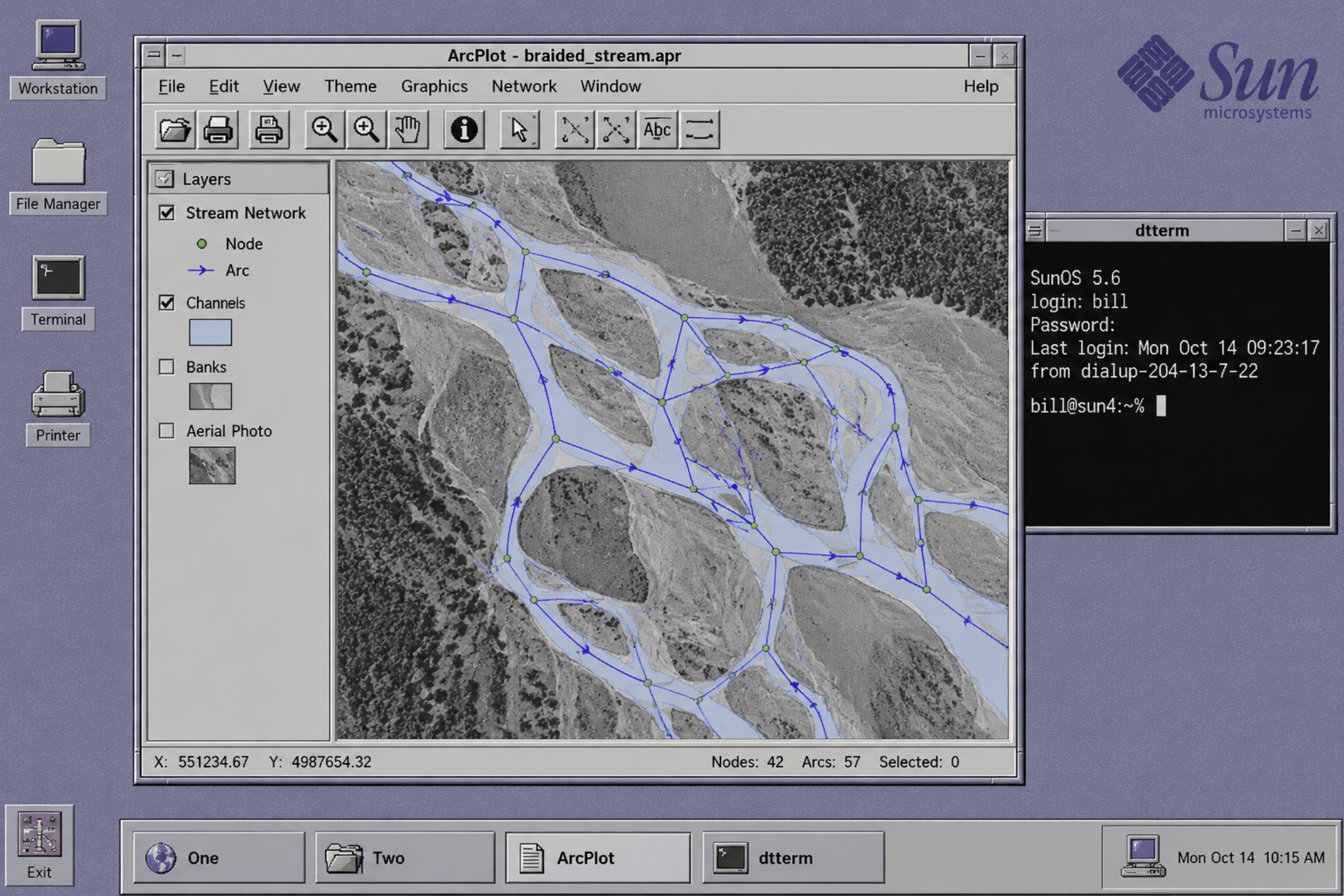
Part of what makes geospatial interesting is that geography doesn’t always cooperate with the abstractions that make other forms of computing relatively straightforward. The Earth is curved, but not uniformly so. Coordinate systems have different properties and purposes to account for that. Distance depends on how you measure it. Great circle distances under-represent the impact of topography. Boundaries can be ambiguous, change over time, or disagree between otherwise authoritative sources. Two datasets can be individually accurate and still produce nonsense when combined. Then there’s topology, the math that makes it possible for us to complain about the weird route chosen by Google Maps.
These are fundamental properties of geospatial problems. No amount of enthusiasm for a new programming language, database architecture, or AI model changes them. It’s not surprising that spatial reasoning is currently where LLMs go to die. LLMs aren’t the first mainstream tech to trip over spatial, they won’t be the last, and they are already improving. They are simply the latest technology to demonstrate that geospatial understanding consistently trumps tooling.
Geospatial practitioners understand how to account for these complications. That knowledge is often expressed in standards and software. Software, open-source and otherwise, is a concrete representation of knowledge. Similarly, data models, analytical methods, and institutional practices capture geospatial knowledge. And, of course, a fair amount resides in the heads of people who have learned, occasionally the hard way, what can go wrong.
This helps explain why geospatial has retained a distinct professional identity even as its methods have become more widely available. You can make spatial operations easier to perform without making geographic reasoning trivial. A point-in-polygon operation is straightforward enough. Knowing whether the polygons are at a suitable resolution requires a different kind of understanding.
It also helps explain some of the industry’s more endearing habits. We tend to care about details that other people find obscure because we’ve seen what happens when those details are ignored.
Another characteristic of geospatial is the amount of effort the community has invested in making its technology useful beyond the boundaries of individual organizations and applications.
Geography is inherently shared. Roads, watersheds, infrastructure networks span administrative boundaries. Environmental processes operate at scales that defy organizational and jurisdictional management. I think this fundamental property of geography has made interoperability a primary concern for geospatial technology from the beginning. I used to be frustrated (and still am) at the lack of interoperability in medical devices. But, unlike geography, there’s really nothing about medical devices that specifically incentivizes adjacent users to demand it.
To be clear, interoperability hasn’t always been a primary concern. I began my career in the early 1990s, when it meant “we all use Arc/INFO (or Intergraph, or MapInfo).” Closed software and proprietary formats ruled. Not to mention the ridiculous variety of vector and raster data formats (which has not stopped). The Open Geospatial Consortium (OGC) really forced the issue.
The OGC was established in 1994, when much of the broader software industry was still figuring out what the commercial internet might become. Its Simple Features Specification became a workhorse that enabled much of the open-source ecosystem we have today. OGC’s specifications led to reference implementations and a substantial body of work that has made geographic information easier to exchange, process, and reuse.
Open-source projects such as QGIS, PROJ, GDAL, and PostGIS have developed into foundational components of geospatial infrastructure. More recently, technologies such as Cloud Optimized GeoTIFF, STAC, and GeoParquet have extended that tradition into cloud-native data architectures. Their significance lies partly in how well they fit into computing infrastructure that wasn’t designed specifically for geospatial applications. To me, that looks like an interesting reversal of the geospatial market’s tendency to lead with specialized infrastructure. Spatial data has become another kind of data that can participate in larger analytical and operational systems.
The geospatial community continues to do much of the difficult work of making that possible, often without much attention from the broader technology industry. I suspect most of the people maintaining the underlying libraries are comfortable with that arrangement, although I’m sure they’d appreciate more funding.
AI is the latest technology to make geospatial capabilities more accessible to people who aren’t GIS specialists. It can already write spatial queries, generate code, interpret imagery, and assemble analytical workflows. It’s following a path established by web mapping, spatial databases, and cloud computing, each of which reduced the specialized tooling required to work with geographic information.
As I’ve already noted, AI still struggles with spatial reasoning, but I expect that to improve. I’m more interested in what happens when the mechanics of geospatial analysis become increasingly trivial. Understanding which data to use, which spatial relationships matter, and whether the results make geographic sense will remain important. I suspect we’ll find that buttons with prompts won’t necessarily make the problems we’re trying to solve any simpler, though there is a risk they become more obscure.
I occasionally hear variations on the argument that geospatial needs to become more prominent in the technology industry. Usually, the premise is that geography is important and that the broader technology community doesn’t sufficiently appreciate it. That sentiment is understandable, but I’m not particularly concerned about it.
Geospatial technology is obviously important. It has become an essential part of how we understand and interact with the physical world. Much of its success has come from making geographic capabilities available to people who simply have a focused question or problem and have no particular interest in becoming geospatial professionals. I’d be more concerned if we were insisting that everyone who needs to work with geographic information must first enter our specialized world.
I’ve spent enough time in this industry to appreciate its unusual combination of scientific rigor, practical engineering, public service, and occasional stubbornness. There are people who have devoted substantial portions of their careers to maintaining software libraries, improving standards, building public datasets, and solving problems that most of the world will never know existed. There are even those who remain deeply committed to coordinate ordering and metadata. All the best freaks are here.
So I’m comfortable calling geospatial a backwater. It’s a place with its own history, culture, and technical preoccupations, somewhat removed from the center of attention in an industry that constantly looks for the next big thing. Meanwhile, much of the world runs on what we’ve built. I can live with that.
