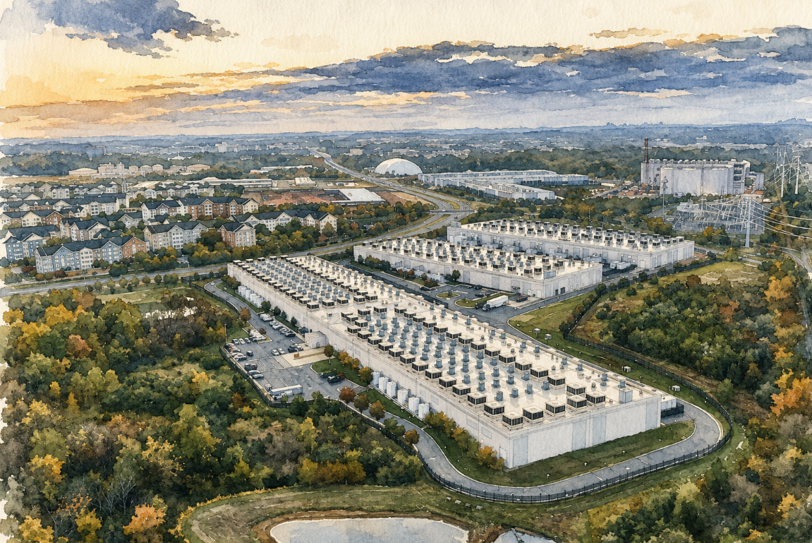
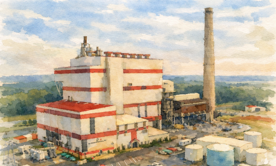
I recently finished implementing a network analysis through PostGIS and pgRouting, exposed through an MCP interface so it can be called by AI. I have done versions of this as a Lambda and as a Google Cloud Function. Before that, I did it in Node. Before that, in ASP.NET with a different routing library. Before … Continue reading Twenty Years, Part Three
Tag: GIS
Twenty Years, Part Two
Note: This post is the second in a four-part series leading to the 20th anniversary of this blog. I was recently at a conference that was primarily focused on climate risk. One particular panelist caught my attention when talking about analyzing vulnerabilities by first creating a digital twin and then using an AI model to … Continue reading Twenty Years, Part Two
Geo Roadshow 2026
Over the next several months, I will be making the rounds on my 2026 geo-conference schedule, with stops at FedGeoDay, State of the Map US, and FOSS4G North America. These are not just events I plan to attend. They are communities I have been involved with in different ways, and each one represents a part … Continue reading Geo Roadshow 2026
Twenty Years, Part One
In 1993, at the very start of my career, I was a newly minted AML developer working on a data automation project. A good bit of the industry’s energy at the time was focused on digitizing vast amounts of geospatial information that still existed in analog form, including mylar, paper maps, and other physical artifacts, … Continue reading Twenty Years, Part One
Sovereignty and Open Source
Open source geospatial tools are good. I have been making some form of that argument for most of my career, especially on this blog. The mature projects are equal to or better than their proprietary alternatives. The communities that build and maintain them represent some of the best technical talent working in this space. None … Continue reading Sovereignty and Open Source


