A couple of weeks ago, I took part in a live discussion of the Geospatial Innovations group on LinkedIn, along with Linda, Bonny, Tim, and Will. The topic was “Reimagining Maps” and was spurred by a couple of recent posts by Linda and Will – “Modern Mapping” and “Modern Geospatial“, respectively. The discussion ostensibly examined the history and future of maps, especially since the advent of geospatial technology, as well as the relevance of maps going forward.
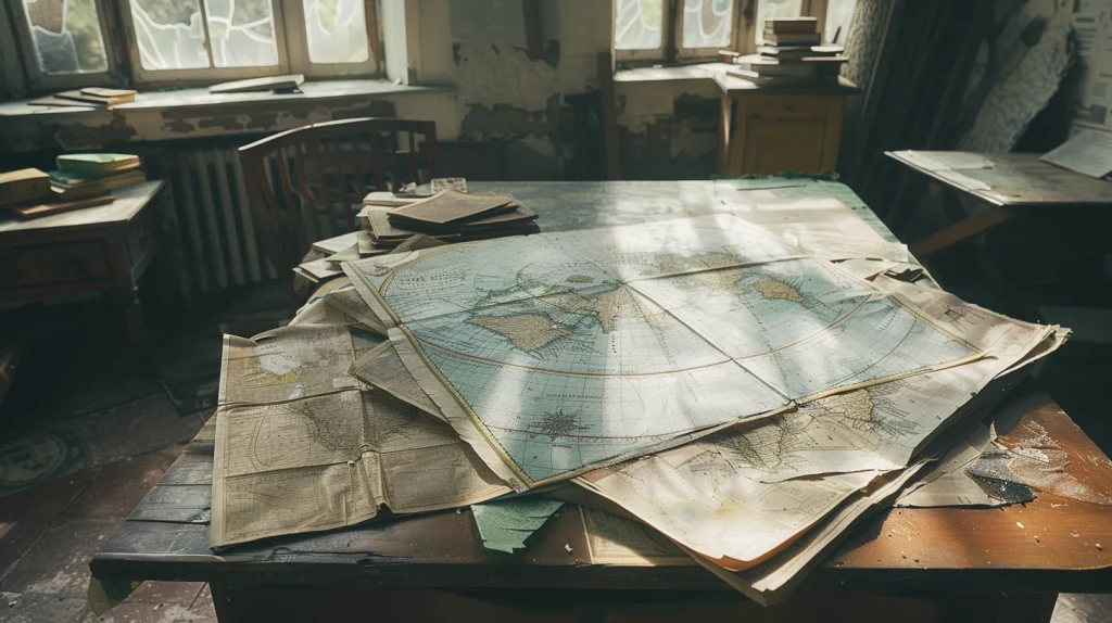
When I got started in the geospatial industry, the conversion from analog to digital was in full swing. The first few years I worked in GIS, I was almost exclusively focused on raster-to-vector conversion of scanned maps. It’s hard to imagine now, but, in the era immediately preceding that one, maps did double duty. Not only were they cartographic representations of a place at a particular time, they were also the repository of the spatial data for the area they represented. To be clear, the paper map in your hands was the spatial data for the area it depicted.
That sounds dire, but, of course, you could photocopy a map ad infinitum. Most likely, the map you were holding wasn’t the sole copy, so losing it wasn’t erasing history. But that meant that maps, and their source material such as Mylar separates, were the primary source of data for much of the digitization occurring in the late 1980s and early 1990s. What was known about the feature on the map was derived from map annotations and inferred from symbology. Additional attribution came from other ancillary sources and was often linked manually. This type of work was all I knew of GIS for the first five years of my career, and automating it is what made me a GIS developer.
Eventually, that work faded because new data was sourced digitally and loaded into GIS databases (interpret that term broadly for the sake of this discussion). Current work with LiDAR and daily re-imaging of the planet and feature extraction (whether via machine learning or older established methods) is the natural outgrowth of that transition to digital sourcing. The entire earth observation industry as we know it today exists because of the conversion to digital mapping.
An interesting effect of the early days of originating digital spatial data from analog maps was that, in perception, GIS was seen as tightly coupled with maps and that maps were seen as a necessary and essential part of GIS. Because of roughly a decade where maps were the source and the output of GIS, maps were seen as synonymous with GIS and vice versa. I think, though it is mostly speculation, that perception still persists in many verticals of the geospatial market.
I have felt for a long time that the tight coupling of the identity of GIS with maps has held it back from its full potential. I’ll come back to that because I first need to discuss maps.
Maps are one of the most essential and impressive information visualization techniques humans have ever created. Talented cartographers are artists. If a picture is worth a thousand words, a well-executed map is worth a million. My work the last few years with the GeoHipster calendar has never failed to leave me in awe of the talent and imagination of people at the top of the cartographic craft.
But maps are not essential to geospatial information technology. There is a hell of a lot of math and science behind spatial analysis and geospatial technology automates and encapsulates that math and science. When implemented well, that technology can be inserted into data flows to perform spatial analysis on data in flight. Spatial logic is a kind of transformation in ETL/ELT workflows. Spatial logic can be honed down to be applied in well-understood business rules for a vertical. In this manner, only the spatial tooling necessary for a task needs to be deployed.
When maps are placed, conceptually, at the center of geospatial tooling, then that tooling is developed to eventually produce maps. This can lead to large, monolithic software structures designed to support manual creation of maps on a desktop or to serve heavy feature data services to produce maps on the web. Optimization to task becomes harder when we need all of the data and tooling available in case we need to make a map. In this way, map-centricity holds back spatial tooling from its potential.
So, in my mind, the separation of spatial processing from map production is essential. Map production is a thing you can do with spatial tools, but not a thing you have to do. I think map production tools built around the “studio” concept, almost as if they were Figma or Photoshop for maps, get this concept right.
The ability to make maps is still essential. Maps are the unique information visualization product of geospatial tools. When geospatial information needs to be visualized, a map is often the most effective way to do it, so the ability to make them and make them well must be preserved. But making a map is one possible outcome of working with geospatial data and tools, not the primary reason we do so.
I think when we decouple geospatial tools from maps and vice versa, two things will happen. First, geospatial tooling will more rapidly accelerate its integration with traditional information systems, will become less monolithic, less exotic, and more appropriately implemented. Second, maps will become less commoditized, used in appropriate situations, and will be appreciated for the artistic and communication medium that they are.
Actually, I think a third thing will also happen. Geospatial professionals – those who possess the geographic knowledge base and have mastery of the math and science of geography – may be able to focus more on applying that knowledge to novel problems and be able to spend less time tending to dedicated geospatial infrastructure that is larger and more unwieldy than it needs to be due to unnecessary map-centricity.
Header Image: United States. Defense Mapping Agency. Hydrographic/Topographic Center; United States. Defense Intelligence Agency; United States. Army Map Service; Great Britain. Ordnance Survey; Great Britain. Directorate Of Military Survey, Public domain, via Wikimedia Commons
._LOC_2003682606-21.jpg)
(The header image is a Joint Operational Graphic (JOG). While I never worked with this map specifically, JOGs were the primary map source for the first data production projects I worked at the start of my career. They were a 1:250,000 scale product of what was then known as the Defense Mapping Agency and is now known as the National Geospatial-Intelligence Agency.)