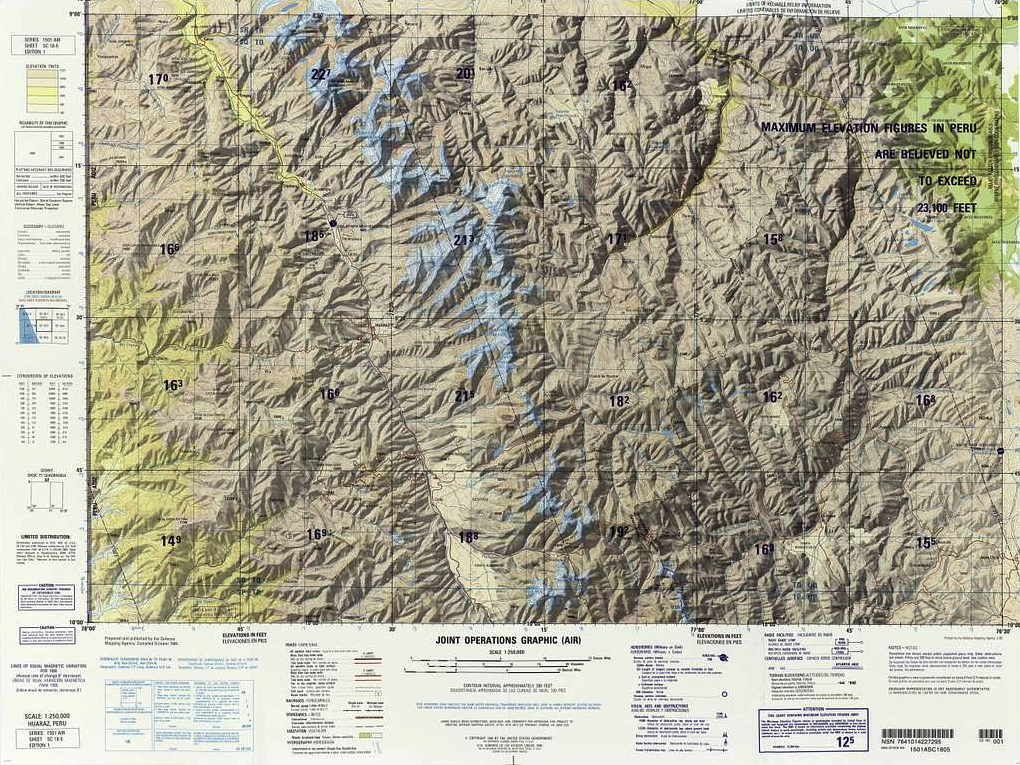
Open source geospatial tools are good. I have been making some form of that argument for most of my career, especially on this blog. The mature projects are equal to or better than their proprietary alternatives. The communities that build and maintain them represent some of the best technical talent working in this space. None … Continue reading Sovereignty and Open Source
Tag: GIS
When Geospatial Is Consumed at AI-Scale
In February 2026, Gary Gale published a brief post describing a problem that, on its face, looked mundane. A volunteer‑maintained mapping project called Vaguely Rude Places had experienced an abrupt surge in traffic. Daily requests jumped from the low thousands to the hundreds of thousands. There was no corresponding spike in public interest, no viral … Continue reading When Geospatial Is Consumed at AI-Scale
“Post GIS” Revisited
One of the advantages of writing a blog for nearly twenty years is that you can go back and see how some of the things you wrote about have held up over time. Suffice it to say there are a number of posts that tempt me to hit the delete key. There were times when … Continue reading “Post GIS” Revisited
GeoFeeds: Now with MCP
It's been about a year since we rolled out GeoFeeds, a spatial new aggregator along the lines of the old Planet Geospatial. During that time, it's been humming along, and we've added about 90 blog feeds to it. It provides a single, rolling, aggregated feed of posts from those blogs over the previous year. I've … Continue reading GeoFeeds: Now with MCP
Spatial Analysis with Claude Code
I've been doing more (a lot more) with Claude Code lately. With its subagents and skills features, it's become more customizable and powerful. I can really dial it into doing things the way I want them done, which accelerates my development and quickly gets me to where I am focused on important behaviors, rather than … Continue reading Spatial Analysis with Claude Code


