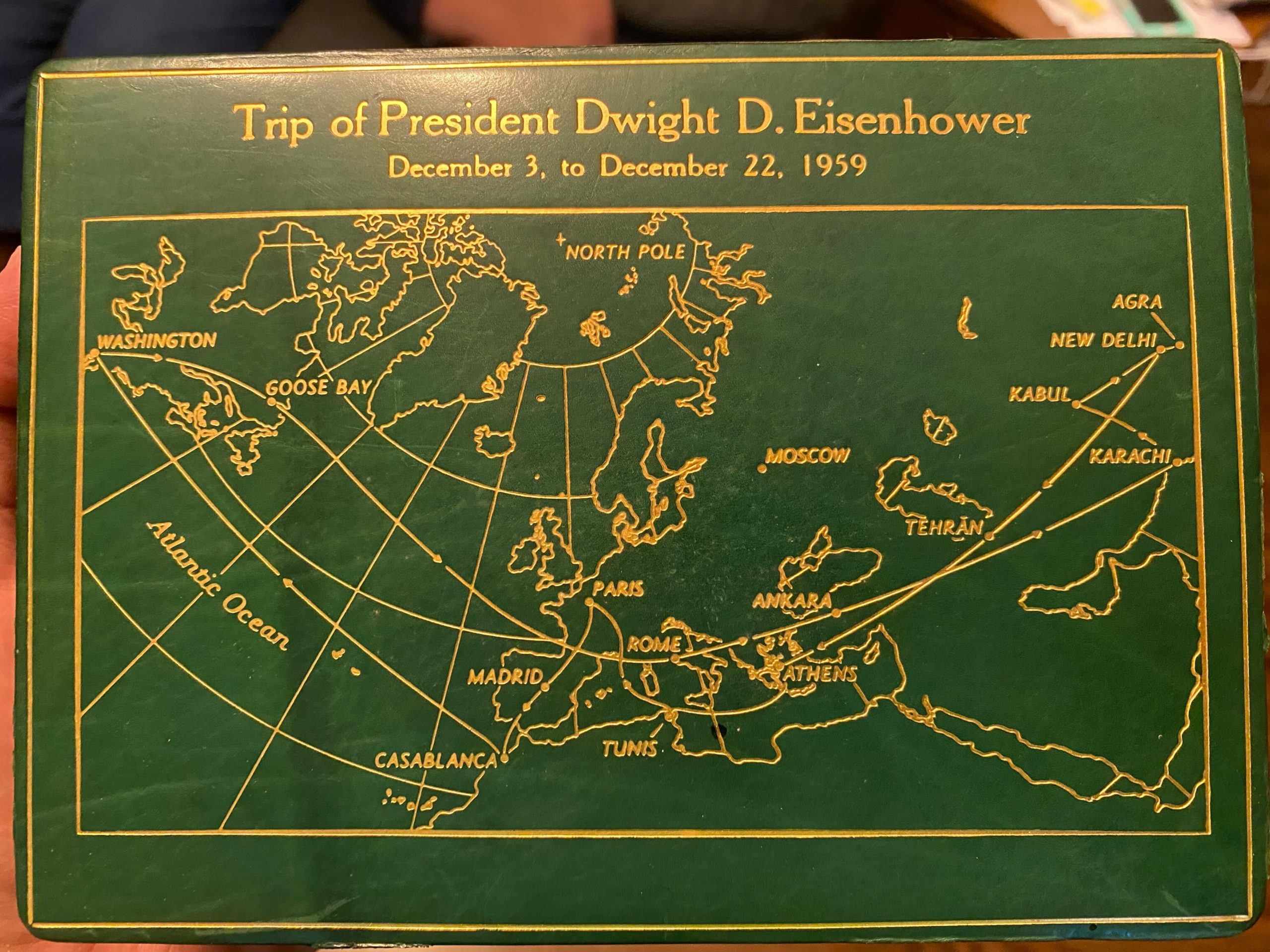
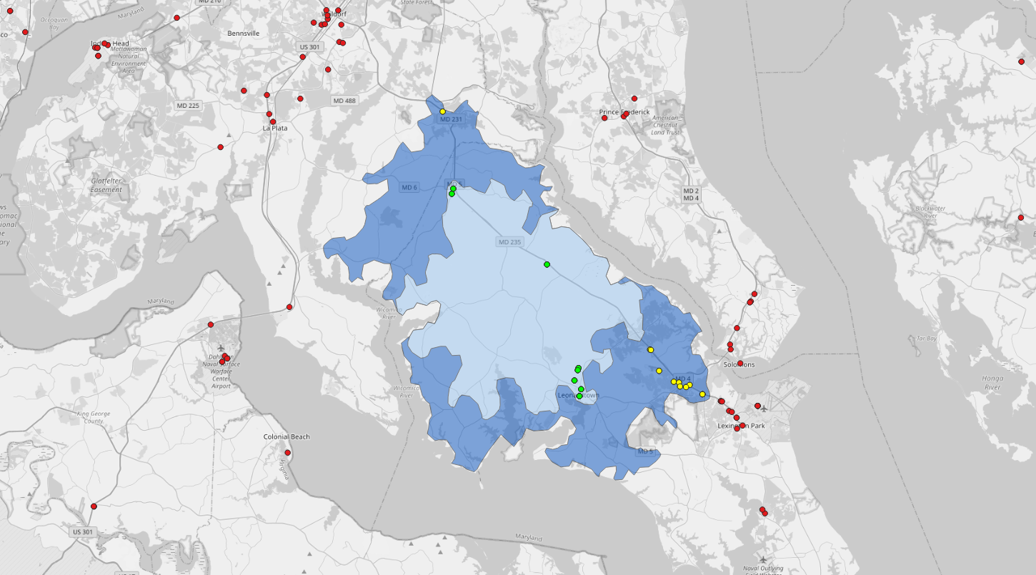
When he was in the Air Force, my father served on Air Force One under four presidents - Eisenhower, Kennedy, Johnson, and Nixon. He was on the engine crew and got to see a lot of the world over the course of those administrations. I grew up with Presidential memorabilia all through our home: signed … Continue reading QGIS and a Small Passion Project
Category: gis
Services, Solutions, and Products
Prior to my current role, I spent 25 years working in the federal contracting space. Almost all technology built in that world is one-off and designed for the specific needs of a customer. Often, those needs are complex and meeting them involves creating new technology. "Productizing" a solution is common trope around the Beltway among … Continue reading Services, Solutions, and Products
Give Me a Standard, Any Standard
I've spent the last year or so doing very little with geospatial technology, but I find myself missing it tremendously. Of course "in my blood" and "how I'm wired" and similar aphorisms apply to how I'm feeling, but that's not what really has me missing geospatial. In a shocking (for me) turn of events, I … Continue reading Give Me a Standard, Any Standard
Simple Isochrone Analysis in QGIS
With my MBA program behind me, one of my goals has been to shake the rust off my coding and GIS skills. For this post, I thought I would start simply, just to make sure I remembered how to find my way around QGIS. We recently purchased a plug-in hybrid. It has a 17-mile range … Continue reading Simple Isochrone Analysis in QGIS
SaaS, IPaaS, and Interoperability
I started this blog back in 2006 during a time when I wasn't doing much geospatial work at all. I was working on building a human resources system for a federal government customer who was falling under the then-new and now-defunct National Security Personnel System. Because it was new and sufficiently different from the GS … Continue reading SaaS, IPaaS, and Interoperability