Over the next several months, I will be making the rounds on my 2026 geo-conference schedule, with stops at FedGeoDay, State of the Map US, and FOSS4G North America. These are not just events I plan to attend. They are communities I have been involved with in different ways, and each one represents a part of the broader geospatial world that I care about.
First up is FedGeoDay, scheduled for April 22–23, 2026, in Suitland, Maryland, at the U.S. Census Bureau. I am helping to organize this one, so I see it not only as an attendee but also from behind the scenes. FedGeoDay is focused on open geospatial ecosystems in the federal space, including open source software, collaborative mapping, open science, and the practical realities of applying those ideas in government settings. That combination is one of the reasons I find it so worthwhile. It is a place where mission needs, community, and technology come together in useful ways.
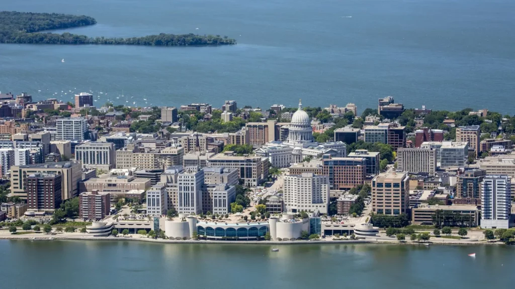
After that comes State of the Map US, scheduled for June 11–13, 2026, in Madison, Wisconsin. This event is the annual U.S. gathering for the OpenStreetMap community and the many people and organizations that care about open geographic data. I serve on the Advisory Council for OSM US, the host organization, so this is another event that feels personal to me. State of the Map US has always struck me as a conference where the community itself is part of the value. It brings together mappers, developers, researchers, advocates, and users who are all contributing, in one way or another, to the ongoing work of building and maintaining open map data.
Later in the year is FOSS4G North America, scheduled for November 2–4, 2026, in Sacramento, California. I am also helping to organize this event, which gives me another reason to look forward to it. FOSS4G North America is centered on open-source geospatial technology, but like the best conferences in this space, it is really about more than software alone. It brings together developers, analysts, public sector practitioners, academics, and business leaders who are all thinking about how open geospatial tools can be applied in the real world.
What I appreciate about this mix is that each event highlights a different facet of the same larger story. FedGeoDay reflects open geospatial practice in government. State of the Map US reflects the energy and importance of community-driven mapping. FOSS4G North America reflects the continued growth and maturity of the open-source geospatial ecosystem. For me, that makes this year’s conference schedule especially meaningful. It is not just a travel calendar. It is a chance to spend time with communities I value and to continue conversations with those who have helped shape the field.