Simple Isochrone Analysis in QGIS

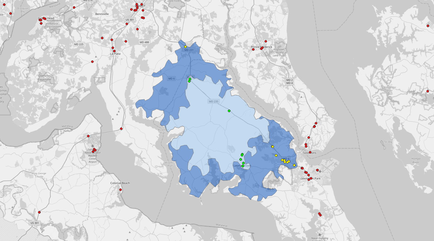
With my MBA program behind me, one of my goals has been to shake the rust off my coding and GIS skills. For this post, I thought I would start simply, just to make sure I remembered how to find my way around QGIS.

We recently purchased a plug-in hybrid. It has a 17-mile range when running fully electric, so I used this as the basis for a quick analysis with QGIS. Of course, any such experimentation isn’t much fun without a few unrealistic assumptions, so here they are:

  1. The car was parked with an empty tank.
  2. It was brought up to a full charge overnight.
  3. Rather than immediately going to a gas station, we’ll go to a charging to top off the battery again.

These assumptions are, of course, ridiculous, but they allow me to have some fun.

I decided to build out drive-distance isochrones representing ten miles and sixteen miles. Ten miles represented the safe range, and sixteen represented the edge of insanity, at which I should use the last mile to find a gas station.

Read more