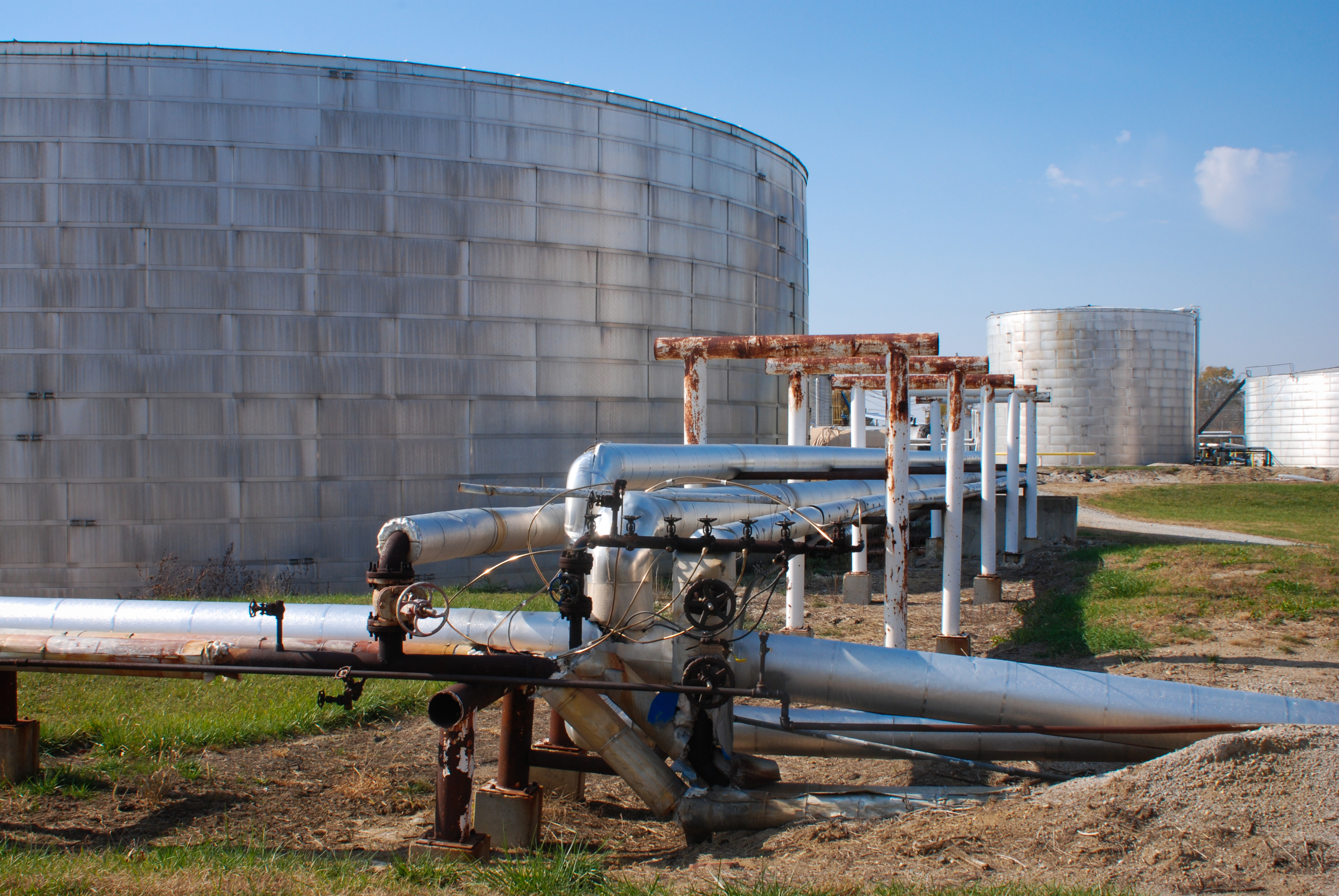
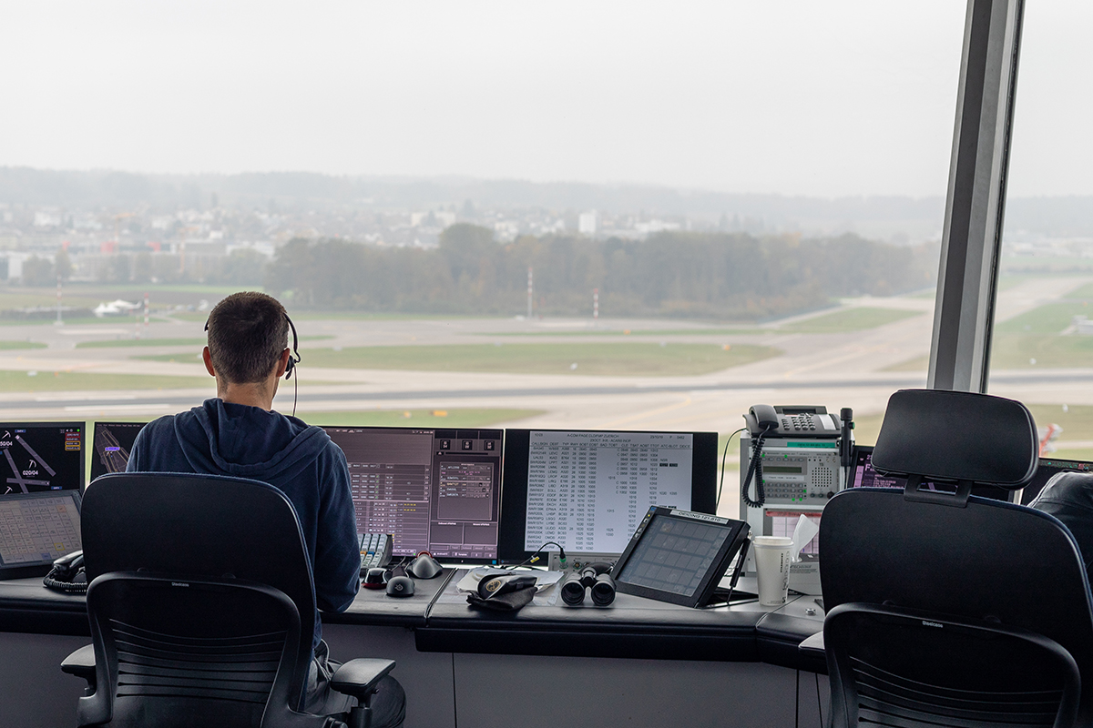
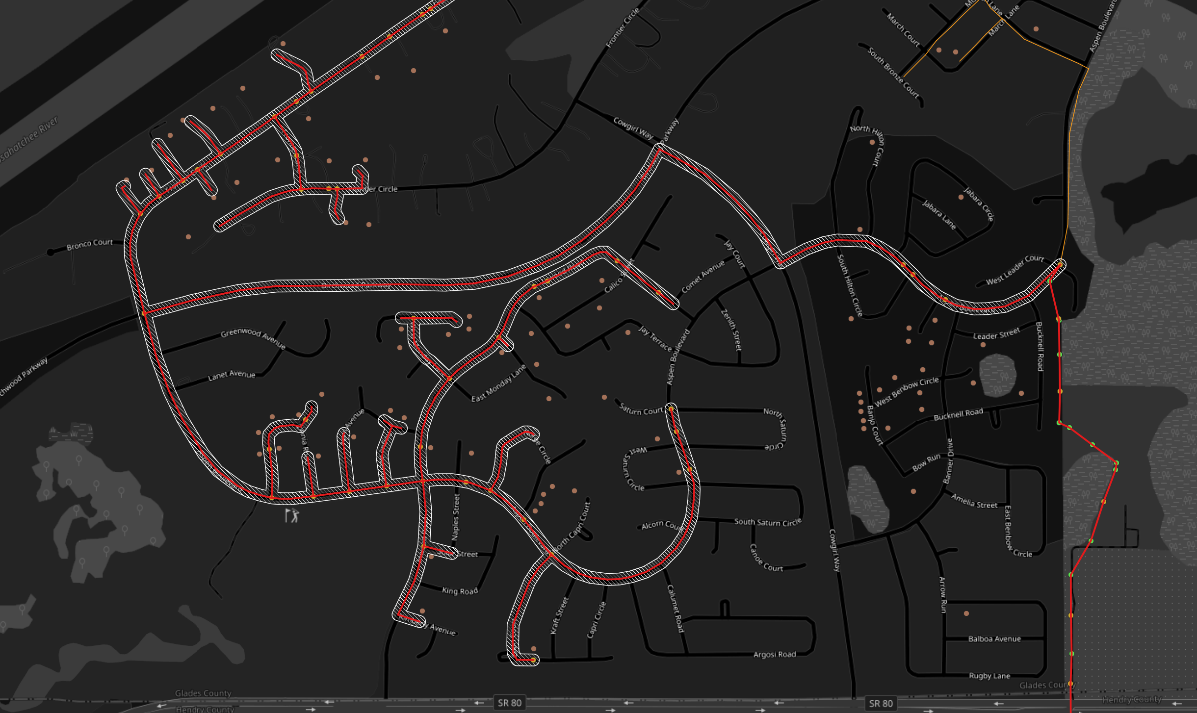
Summaries of selected talks from FedGeoDay 2026, Day 1, April 2026, US Census Bureau, Suitland, MD Once again, I served on the FedGeoDay organizing committee this year. FedGeoDay continues to be one of the higher-value events on my calendar, and this year was no exception. With a focus on data preservation and federal data stewardship, … Continue reading FedGeoDay 2026: Four Talks Worth Your Attention
Tag: AI
Spatial Analysis with Claude, Part 2
Following up on my previous post, I built a new Claude skill to take advantage of the increasing wealth of data online in cloud-native formats like GeoParquet. Given that DuckDB can read from such sources in place, I built the skill to use it to perform spatial analysis tasks on specified data sets. Here is … Continue reading Spatial Analysis with Claude, Part 2
Shortening Translation Distance
I spent the first five years of my career, from 1993 to 1998, doing mostly AML programming. There was also some AutoLISP, MapBasic, Clipper, and Avenue during that time, but it was mostly AML. In hindsight, that was a fortunate place to begin. I had no real exposure to GIS or geography in college, and … Continue reading Shortening Translation Distance
When Geospatial Is Consumed at AI-Scale
In February 2026, Gary Gale published a brief post describing a problem that, on its face, looked mundane. A volunteer‑maintained mapping project called Vaguely Rude Places had experienced an abrupt surge in traffic. Daily requests jumped from the low thousands to the hundreds of thousands. There was no corresponding spike in public interest, no viral … Continue reading When Geospatial Is Consumed at AI-Scale
How OOP Helped Me Understand AI Agents
I first encountered the term "agent" more than 20 years ago, when I was working on an agent-based modeling system for simulating infrastructure inter-dependencies. Imagine an agent representing a power plant that has gone offline and an agent representing a telecommunications end office switching itself to battery backup and tracking how many simulation cycles the … Continue reading How OOP Helped Me Understand AI Agents
“Post GIS” Revisited
One of the advantages of writing a blog for nearly twenty years is that you can go back and see how some of the things you wrote about have held up over time. Suffice it to say there are a number of posts that tempt me to hit the delete key. There were times when … Continue reading “Post GIS” Revisited
AI Still Requires You to Understand Your Business
I have said repeatedly throughout my career that the effective use and adoption of technology requires a deep understanding of your own business processes and workflows. This is true regardless of the nature of the technology: proprietary or open-source, SaaS or cloud or on-prem, web or desktop or mobile, SQL or not. None of these … Continue reading AI Still Requires You to Understand Your Business
GeoFeeds: Now with MCP
It's been about a year since we rolled out GeoFeeds, a spatial new aggregator along the lines of the old Planet Geospatial. During that time, it's been humming along, and we've added about 90 blog feeds to it. It provides a single, rolling, aggregated feed of posts from those blogs over the previous year. I've … Continue reading GeoFeeds: Now with MCP
Spatial Analysis with Claude Code
I've been doing more (a lot more) with Claude Code lately. With its subagents and skills features, it's become more customizable and powerful. I can really dial it into doing things the way I want them done, which accelerates my development and quickly gets me to where I am focused on important behaviors, rather than … Continue reading Spatial Analysis with Claude Code
Metadata Rising
Earlier in my career, I was working on an infrastructure protection task and we were reconciling data from several sources that addressed the same road network. The data from the locality was authoritative, but it lacked some information we needed so we were conflating other data to the linework. I commented on the general lack … Continue reading Metadata Rising


